


CoastSnap
What is CoastSnap?
CoastSnap is a low cost beach monitoring tool which allows members of the public to be actively involved in data collection. Images are submitted and over time changes in the coastline can be highlighted and documented. Beach environments are under a variety of pressures such as climate change and rising sea levels. By using this simple approach it is hoped a vast amount of information can be gained which ultimately provides knowledge for coastal planners and managers.
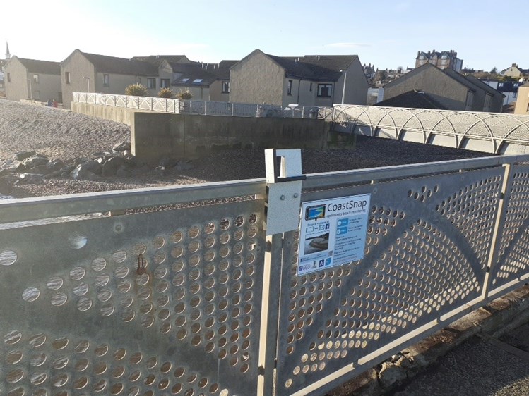
How does it work?
Images are taken from the same spot using the camera frame. These images are then sent to us through email or Facebook and over time a time-lapse video of how the coastline is evolving can be created. Detection techniques can also be applied which allow features to be tracked and monitored. The technique uses known points in the image as “reference” points to allow the image to be converted and projected in a bird’s eye view.
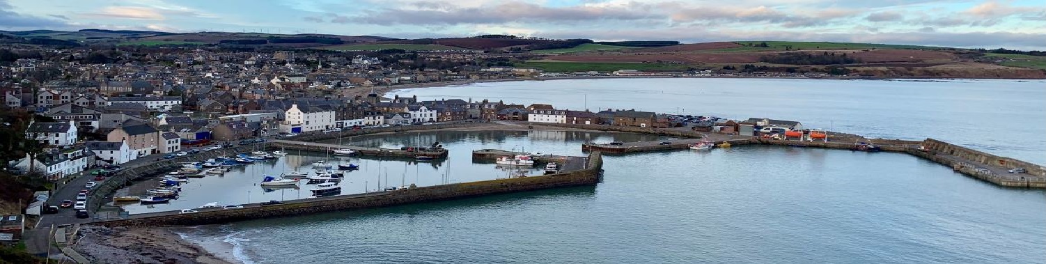
Why Stonehaven?
Natural beaches form the first line of defence against high tides and stormy seas in many coastal towns all over the world. As sea levels are predicted to rise and storms get worse, understanding the behaviour of these natural systems has never been more important. This initiative follows the Stonehaven Bay Flood Study and has been developed in partnership with JBA Consulting (www.jbaconsulting.com) with the aim of better understanding beach behaviour to support future management decisions. Here we will attempt to use these images to better understand the changes in the beach profile under varying wave conditions. CoastSnap is a global community with Stonehaven being the first in Scotland.